Bakersfield sits on the southern rim of the San Joaquin Valley, where the Kern River fan has deposited centuries of interbedded silts and coarse sands across the basin. That layered geology means a simple boring log can miss a thin, soft seam just two feet down. Our exploratory test pit service strips away the guesswork. We open a clean vertical face so the responsible engineer walks the trench, photographs the strata, and samples exactly the horizon that matters for bearing capacity or floodplain compliance. For deeper verification beyond the pit floor we often combine the exposure with spt drilling to correlate blow counts with the visually logged profile, and we run grain-size analyses on the coarser lenses that dominate the Kern River deposits.
A test pit is the only method that lets the engineer see soil structure, fissures, and seepage with their own eyes — no split spoon can replicate that.
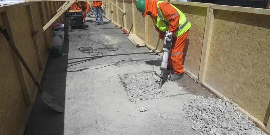
Methodology and scope
Local considerations
Bakersfield registered a magnitude 7.5 event on the nearby White Wolf Fault in 1952, and the city lies within a region where USGS probabilistic maps show peak ground accelerations around 0.4 g on Site Class D profiles. Skipping direct subsurface observation in this seismic setting introduces two concrete risks: undisclosed loose sand lenses that can densify and settle during shaking, and caliche-cemented horizons that give a false impression of competent bearing material until water softens the cementation over time. An exploratory test pit lets the responsible engineer measure layer thicknesses directly and decide whether additional liquefaction screening is warranted. The cost of a pit is negligible compared to the repair bill for differential settlement under a tilt-up warehouse or a multi-family slab.
Applicable standards
ASTM D2488-17e1 (Visual-Manual Procedure for Description and Identification of Soils), OSHA 29 CFR 1926 Subpart P (Excavation and Trenching Safety), California Building Code Chapter 18 (Soils and Foundations, incorporating IBC provisions)
Associated technical services
Stratigraphic Documentation Pit
A full-depth logged exposure with photographic panel, USCS classification, and bulk sampling at each distinct stratum. Ideal for new commercial pads, stormwater infiltration testing, or verifying fill thickness on redeveloped lots within the city.
Foundation Bearing Verification Pit
A targeted excavation at footing elevation to confirm the design bearing stratum and collect undisturbed samples for laboratory strength testing. We coordinate directly with the geotechnical engineer of record to ensure the pit location matches the foundation plan.
Typical parameters
Frequently asked questions
What does an exploratory test pit in Bakersfield typically cost?
For most residential and light commercial sites in the Bakersfield area, a single exploratory test pit with backhoe excavation, logging by a field technician, and a summary report runs between US$560 and US$890. The final figure depends on pit depth, access constraints, and whether OSHA shoring or a wider bench is required for deeper cuts.
How do you handle groundwater when it appears in the pit?
We measure the depth to initial seepage and, if the project schedule allows, we leave the pit open for 24 hours to record the stabilized water level. When a longer-term reading is needed, we can install a small-diameter PVC monitoring well through the pit floor before backfilling.
Can you collect undisturbed samples from a test pit?
Yes. For cohesive soils we carve block samples directly from the pit face and seal them in wax or plastic wrap. From the pit floor we can push a thin-walled Shelby tube with the excavator bucket or a hand-operated jack to obtain a relatively undisturbed specimen for triaxial or consolidation testing.
How soon after the pit is dug can I get the log and report?
We typically issue a draft log with field descriptions and a photo panel within two business days. If laboratory tests such as Atterberg limits or Proctor compaction are requested on the same samples, the final report follows within five to seven business days after the lab work is complete.