Geotechnical investigation in Bakersfield represents the critical first step in understanding the subsurface conditions that directly influence the safety, stability, and longevity of any construction project. This category encompasses a comprehensive suite of field exploration, laboratory testing, and engineering analysis services designed to characterize soil, rock, and groundwater behavior. In a region where expansive clays, liquefiable sands, and high groundwater tables are common, a thorough investigation is not merely a regulatory checkbox but a fundamental engineering necessity. The data gathered informs foundation design, pavement performance, earthwork specifications, and seismic risk mitigation, ultimately protecting investments and lives.
Bakersfield's location at the southern end of the San Joaquin Valley presents a unique and challenging geological setting. The subsurface is dominated by Quaternary alluvial deposits from the Kern River, interbedded with lacustrine clays and silts. These fine-grained soils often exhibit high plasticity and significant shrink-swell potential, a leading cause of foundation distress in the area. Furthermore, the city's proximity to active faults, including the White Wolf and San Andreas systems, necessitates rigorous seismic site classification per ASCE 7 standards. A desktop study is insufficient here; physical exploration is mandatory to identify the depth to groundwater and the presence of loose, saturated sands that could be susceptible to earthquake-induced liquefaction.
All investigation activities in Bakersfield must conform to a strict hierarchy of standards. At the state level, the California Building Code (CBC), which incorporates the International Building Code (IBC) with amendments, governs the minimum requirements for geotechnical reports. Locally, the City of Bakersfield and Kern County adopt these codes and often enforce additional grading ordinance requirements, particularly for hillside developments. Investigations must be performed under the responsible charge of a licensed Geotechnical Engineer (GE) in California, and all laboratory testing procedures must adhere to ASTM International standards, such as ASTM D1586 for the Standard Penetration Test (SPT), to ensure data validity and legal defensibility.
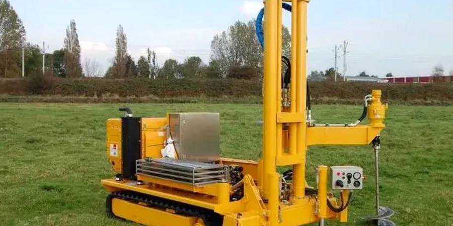
The scope of a Bakersfield investigation is tailored to the proposed project. Large-scale commercial developments and essential facilities, such as hospitals in the growing medical corridors, demand deep borings, extensive sampling, and advanced laboratory testing for consolidation and shear strength parameters. In contrast, a residential addition on a lot with known expansive soils might focus on near-surface characterization and swell testing. For critical infrastructure projects, including the vast logistics centers along the Highway 99 corridor, in-situ testing methods like the CPT (Cone Penetration Test) are frequently deployed. This technique provides a continuous, high-resolution profile of soil stratigraphy and pore pressure, making it exceptionally valuable for liquefaction analysis and delineating thin, problematic clay seams that traditional drilling might miss.
Available services
Common questions
What are the minimum requirements for a geotechnical investigation report in Bakersfield?
A report must comply with the California Building Code and local grading ordinances. It requires the seal of a licensed California Geotechnical Engineer and must include sufficient subsurface data from borings or soundings to characterize site conditions. The report should address bearing capacity, settlement, expansive soil potential, and seismic hazards like liquefaction, providing explicit recommendations for foundation design and earthwork.
How deep should a geotechnical investigation typically go for a commercial building in the San Joaquin Valley?
Investigation depth depends on the structural loads and subsurface conditions, but for typical commercial structures in Bakersfield, borings often extend 30 to 50 feet below the proposed footing elevation. For deeper foundations or to fully assess liquefaction potential in the alluvial basin, explorations may need to reach depths of 60 to 80 feet to penetrate loose Holocene deposits and confirm the competency of deeper Pleistocene formations.
Why is liquefaction analysis a critical component of a geotechnical investigation in Bakersfield?
Bakersfield is situated in a seismically active region with a relatively shallow groundwater table and significant deposits of loose, saturated sands. A major earthquake on a nearby fault could trigger liquefaction, causing a sudden loss of soil strength and bearing capacity. An investigation must evaluate this risk by measuring penetration resistance and groundwater depth to calculate the factor of safety against liquefaction.
Can I use an older geotechnical report from a neighboring property for my site?
While an adjacent report provides useful preliminary context, it cannot substitute for a site-specific investigation. Soil conditions in the alluvial fan environment of Bakersfield can change dramatically over short distances, both vertically and horizontally. Building officials and prudent design professionals require data directly from the subject property to ensure the recommendations are accurate and legally defensible for the proposed construction.