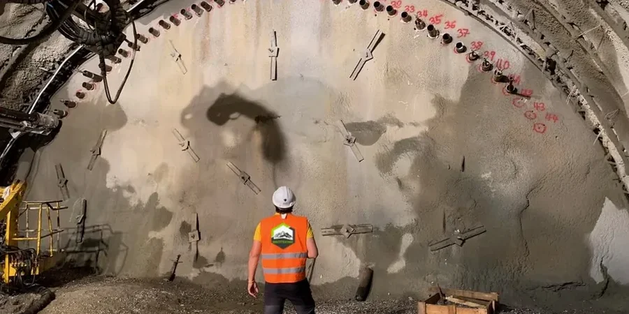
The San Joaquin Valley doesn't forgive mistakes in an open cut. Bakersfield sits on deep alluvial deposits with interbedded sand, silt, and clay lenses that drain at different rates. A 15-foot trench for a storm drain can look stable on Monday and slough by Wednesday if pore pressure builds behind the face. We monitor excavation behavior here with a combination of inclinometers, survey prisms, and vibrating-wire piezometers. Readings are tied to the actual stratigraphy logged during drilling. In zones where the Kern River paleochannel left loose granular soils, we often combine monitoring with in-situ permeability testing to anticipate inflow before it becomes a problem. The result is a record that lets the contractor adjust slope angles, dewatering volume, or shoring stiffness before conditions degrade.
A properly instrumented excavation tells you what the soil is doing, not what you assumed it would do during design.
How we work
Local considerations
The most common mistake we see on Bakersfield jobsites is assuming the excavation will behave like a textbook sand or clay cut. The layered alluvium here creates perched water tables that don't show up on a single boring log. A contractor de-waters the bottom, the face looks dry, but water trapped in a silt lens 8 feet behind the wall builds pressure silently. We've tracked cases where inclinometer data showed 0.4 inches of movement in 24 hours while the site superintendent insisted the cut was stable. Without instruments, that movement becomes a blowout. The combination of deep excavation monitoring instrumentation and real-time review catches those trends early. Adjacent structures are another concern in downtown Bakersfield, where older masonry buildings on shallow footings sit within the zone of influence. Crack monitors and settlement points on the sidewalk provide the evidence needed to protect both the project and the neighbor's property.
Relevant standards
The excavation monitoring for geotechnical projects in Bakersfield, California, shall comply with ASTM D6230-21 (Inclinometer Monitoring), FHWA-NHI-10-024 (Excavation Support Systems), Caltrans Standard Specifications Section 19 (Earthwork), and OSHA 29 CFR 1926 Subpart P (Excavation Safety).
Associated technical services
Inclinometer & Piezometer Installation
Hollow-stem auger installation of ABS casing and vibrating-wire piezometers in the zone of influence behind the cut face, grouted per manufacturer specifications for reliable coupling to the ground.
Automated & Manual Data Collection
Daily total station surveys and inclinometer readings during active excavation. Automated systems with cellular data loggers are available for night work or remote sites east of Highway 99.
Threshold Analysis & Alert Reporting
We program trigger values for lateral movement, settlement, and pore pressure directly into the monitoring software. If a threshold is exceeded, the system sends an SMS alert, and an engineer reviews the data within the hour.
Typical parameters
Common questions
What instruments are typically required for a Bakersfield excavation deeper than 15 feet?
A standard program includes inclinometer casings behind the wall, survey prisms on the shoring face, settlement points on adjacent pavement or structures, and vibrating-wire piezometers if groundwater is within 10 feet of the cut bottom. The final layout depends on the soil profile and proximity to existing buildings.
How much does geotechnical excavation monitoring cost for a typical commercial site?
How often are readings taken during the active digging phase?
We take inclinometer and survey readings once or twice daily while excavation and shoring installation are underway. After significant rainfall, readings are taken within four hours. The frequency drops to weekly during the post-backfill verification period unless movement trends dictate otherwise.
What triggers a stop-work alert during monitoring?
The primary trigger is a lateral movement rate exceeding 0.25 inches in a 24-hour period or cumulative movement reaching 0.5 inches. A sudden pore pressure spike in piezometers also triggers review. Thresholds are set during the monitoring plan development and approved by the project geotechnical engineer.