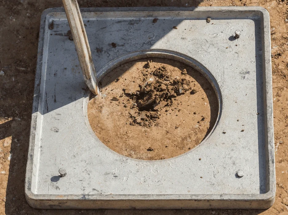
Driving west from the bluffs near the Kern River oil field toward the deeper alluvial fans south of Stockdale Highway, the ground beneath Bakersfield tells two very different stories. Up on the Pleistocene terraces, the older deposits feel competent, dense, almost reassuring under a drill rig. Down in the historic floodplain, however, the same sandy silts that make irrigation so effective also create a textbook environment for seismic instability. The 1952 Kern County earthquake served as a painful reminder that the southern San Joaquin Valley is no stranger to strong shaking, and with the city now pushing residential development into areas underlain by young, saturated granular soils, a rigorous soil liquefaction analysis has become standard practice before any major structure breaks ground. In our experience evaluating sites across Bakersfield, we often pair the initial SPT investigation with a complementary seismic microzonation study to map the spatial variability of liquefaction susceptibility across larger parcels.
Liquefaction in Bakersfield is not a uniform hazard: the same design acceleration can trigger flow failure in the flood basin and only marginal settlement on the Pleistocene terraces.
How we work
Local considerations
Bakersfield's growth pattern has steadily pushed subdivisions into the very terrain where liquefaction risk is highest: the flat, inexpensive tracts of the Kern River floodplain east and southwest of downtown. Historically, the 1952 earthquake produced spectacular sand boils and lateral spreading along the river channel, damaging bridges and irrigation infrastructure. Modern geotechnical practice can predict these outcomes with reasonable accuracy, but skipping a site-specific liquefaction assessment means accepting a blind risk of differential settlement, foundation tilting, and utility rupture. The IBC requires liquefaction evaluation for sites mapped in Seismic Design Category D and above when groundwater is within 50 feet of the surface, a condition met across the vast majority of the Bakersfield basin. Even when the factor of safety against triggering exceeds 1.0, the calculated post-liquefaction volumetric strain can still produce several inches of settlement in deep sand layers, demanding mitigation through ground improvement or deep foundations.
Relevant standards
The analysis incorporates ASTM D1586-18, ASCE 7-22, IBC 2021 (Section 1803.5), and ASTM D5311/D5311M-13.
Associated technical services
SPT-Based Liquefaction Screening
Using standard penetration test data, grain size curves, and groundwater monitoring to compute factor of safety against liquefaction triggering at each potentially liquefiable layer. We apply state-of-practice fines content corrections and magnitude scaling factors.
Cyclic Laboratory Testing Program
Cyclic triaxial or cyclic direct simple shear testing on high-quality thin-wall tube samples to determine the cyclic resistance ratio (CRR) of critical strata. Results are compared directly with the seismic demand (CSR) from the site response analysis.
Post-Liquefaction Deformation Analysis
Quantitative prediction of ground settlement and lateral spreading displacement using empirical charts and, when needed, numerical modeling (FLAC or PLAXIS) for sites with complex stratigraphy or near free-face conditions.
Typical parameters
Common questions
What is the approximate cost of a soil liquefaction analysis in Bakersfield?
Which Bakersfield neighborhoods have the highest liquefaction susceptibility?
Areas underlain by Holocene alluvium with shallow groundwater, particularly near the Kern River corridor south of the bluffs and in the southwestern expansion zones, tend to show the lowest factors of safety. The California Geological Survey's seismic hazard zone maps identify these tracts, but site-specific analysis is needed because the depth and continuity of liquefiable layers can change over short distances.
How do you account for the Bakersfield water table fluctuation in the analysis?
We install monitoring wells or collect water level readings during drilling and cross-reference them with long-term USGS and local irrigation district records. The analysis uses the highest anticipated seasonal groundwater elevation rather than the depth measured on the day of drilling, because a rising water table can fully saturate sands that appeared dry during a summer investigation.
What mitigation options are available if the site fails the liquefaction check?
Common mitigation strategies in the Bakersfield basin include vibrocompaction or stone columns to densify loose sands, deep foundations (driven piles or drilled shafts) to bypass the liquefiable layer, or ground improvement with grouting. The choice depends on the thickness of the problem stratum and the structural loads.